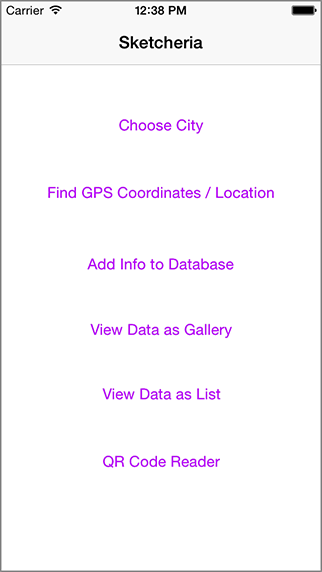
Sketcheria |
How it works. |
|
NOTE: This app has been coded and tested, but has not yet been completely "designed" to make it as interesting and esthetically pleasing as it should be. This is a simple, "boiler-plate" version. This "universal" version is for iPad AND iPhone.
Sketcheria is an app that will unite artists from around the world into synchronized participation. |
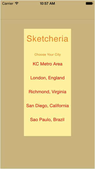
Choose the city in which you live and would like to participate on the advertised date. Meet up with the others at a specified time to share the adventures of your activites, your stories, and of course, your artwork.Even if you don't live in a listed city, you can still participate by doing the acitivies listed, and post your results online later. |
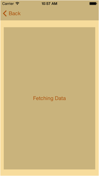
The app pauses while it accesses live data from the appropriate source, |
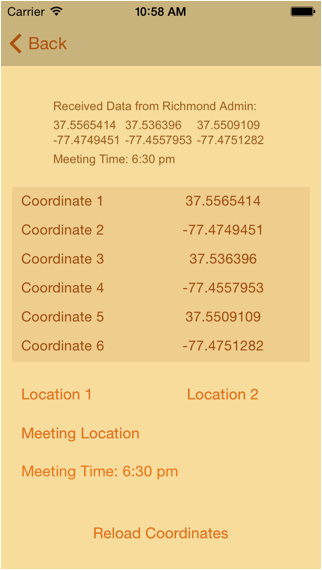
The "Received Data from Richmond Admin" text confirms the User has selected the correct location. The city selected is listed in this first line. The "Meeting Time" is listed as well, and is also place near the bottom of the page. |
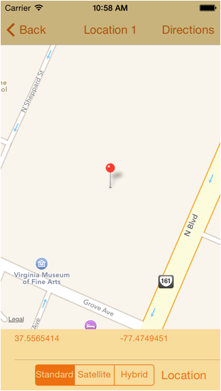
The screen above is the "Standard" map view built into the app. The red pin shows the first location, and is titled as such. A User can find their exact location on the map by clicking the "Location" button on the bottom right. The User location is shown with a glowing, animated blue dot. |
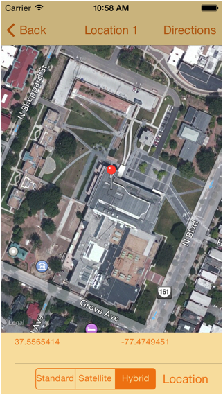
Above is the "Hybrid" map view the User may select. It shows a Satellite view with an overlay of street names and places. The location above, (and the image to the right), is the Art Museum in Richmond, VA. |
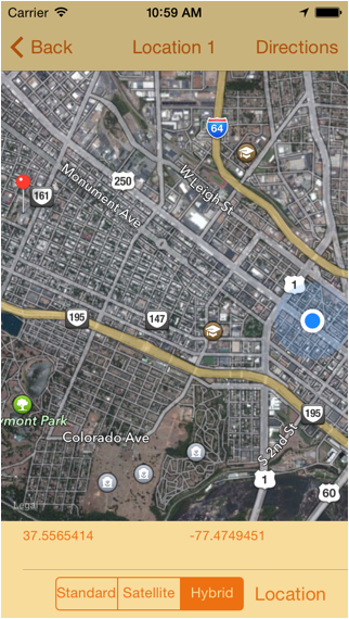
Next, we see the User has zoomed out on the map, and the animated |
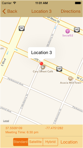
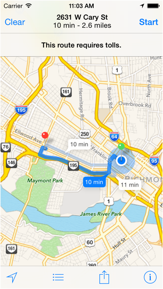
Above is the Meeting Location, with the meeting TIME displayed as well. The exact street address is shown when the User taps the red pin. The User has chosen the "Standard" view on this map. |
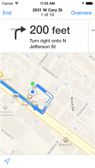
If the User clicks the "Directions" button, the built-in iPhone mapping function |
Turn by turn directions are invoked, for either driving, bus or walking. Some urban areas are well suited for buses or driving, while remote locations, (such as parks or wooded areas), can use walking directions. |
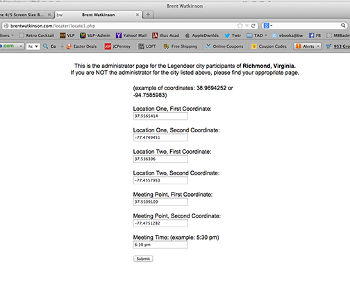
Above is the Admin screen for Richmond, VA. |